MNIR 50 – 50 forts on the Roman frontiers of Romania
50forts
ALONG THE ROMAN FRONTIERS IN ROMANIA
50 forts on the Roman frontiers in Romania is a collection that brings together, on the occasion of the 50th anniversary of the activity of MNIR, castra arranged along the Danube border, between Durostorum and the location where the river flows into the Black Sea, along the alutan line (between Hoghiz and the confluence with the Danube), respectively from the territory of Muntenia, built during the reign of Emperor Trajan.
Their documentation was carried out in The National Limes Program, which aims to include the Roman fortifications in Romania on the UNESCO World Heritage list. The selected castra are part of the southern sector, coordinated by MNIR.
Through this foray, we hope to show that archaeology and scientific research in general are very valuable and deserve everyone’s attention and support!
Frontierele romane de pe teritoriul Daciei
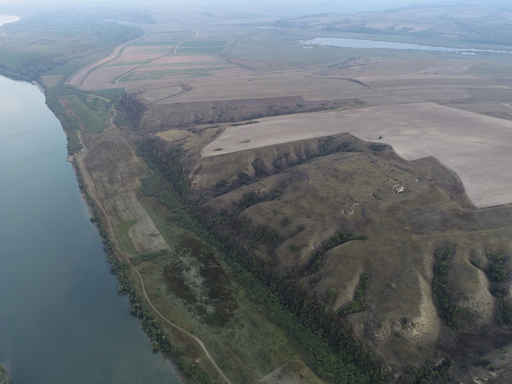
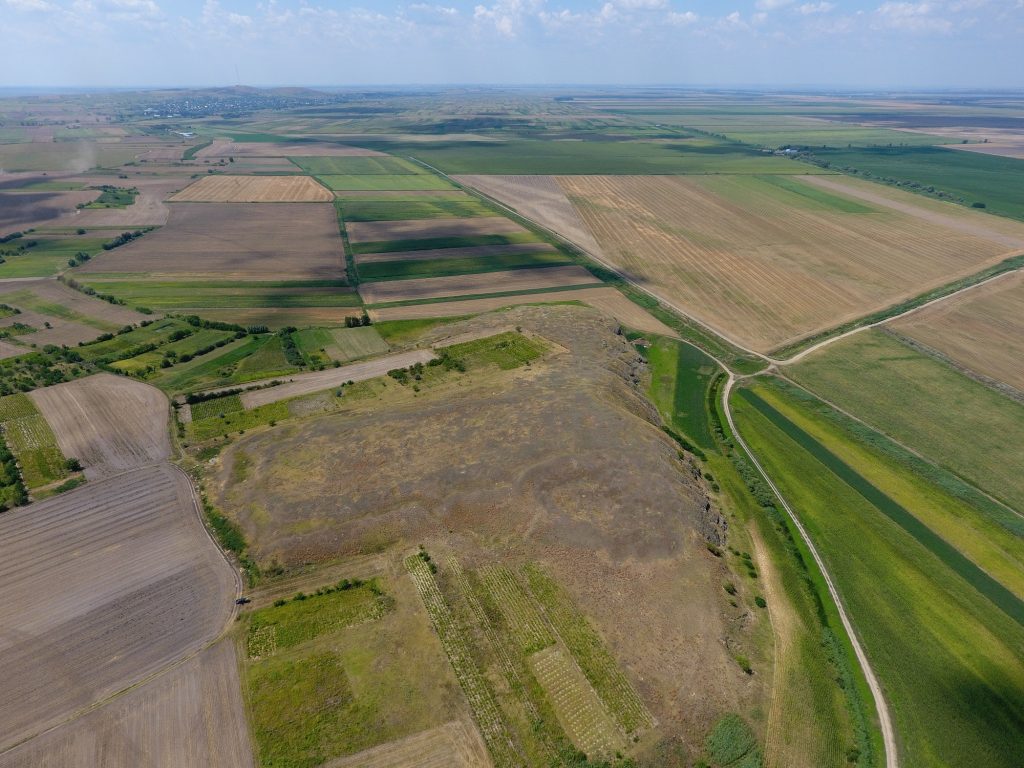
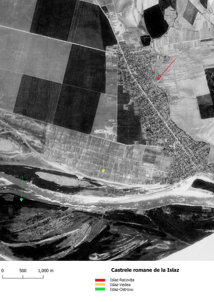
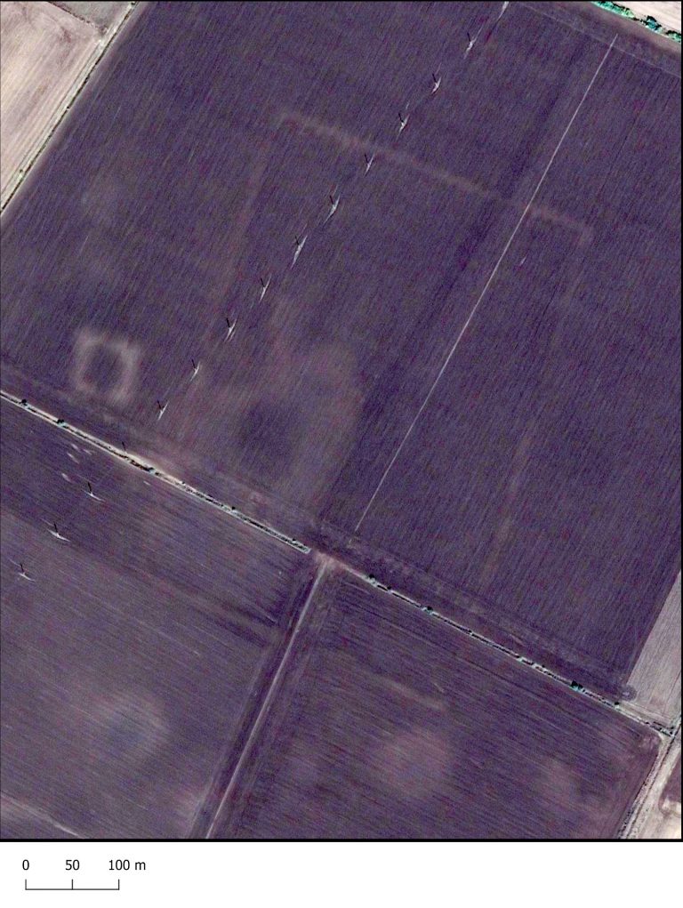
The Roman frontier in Dobrudja
The Lower Danube area came to the attention of the Roman Empire with the formation of the province of Moesia at the beginning of the reign of Tiberius. Step by step, the Roman military units moved eastward, encompassing the entire border of the Lower Danube. Initially, the easternmost points directly controlled were in the area of the future province of Moesia Superior, and with the transformation of the Thracian Kingdom of the Odrys into a Roman province around 46 AD, the legions and auxiliary troops were moved east, first to Oescus and then to Novae.
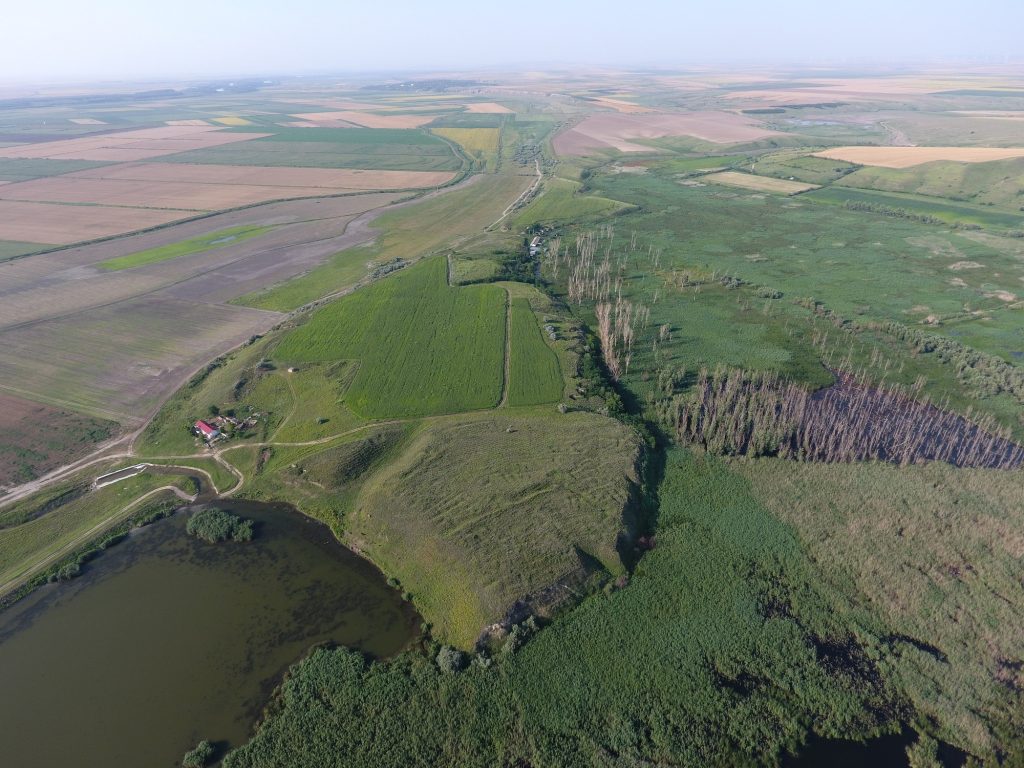
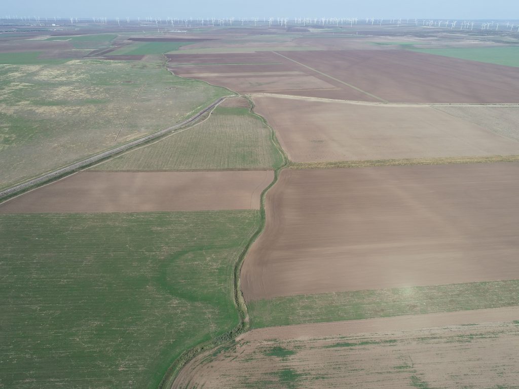
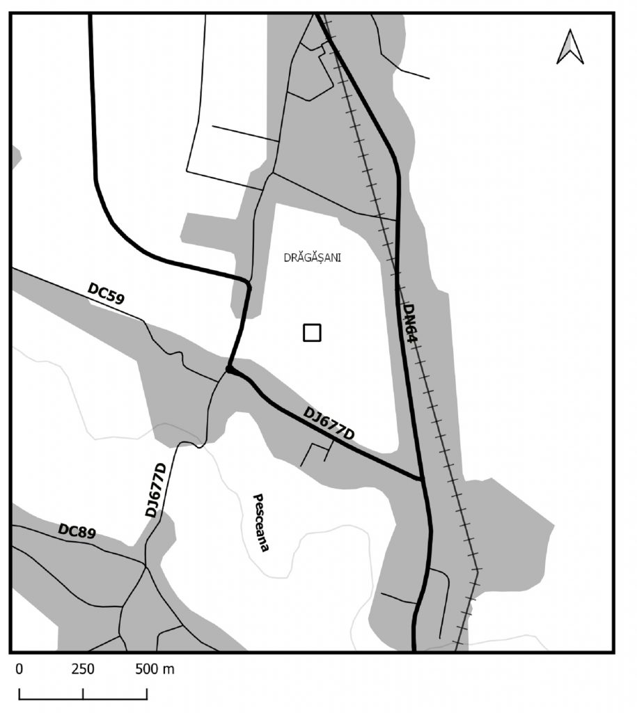
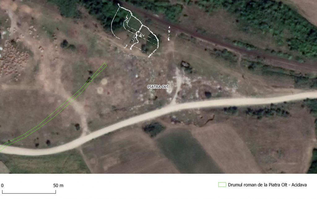
The province Dacia Inferior included the territory between the rivers Jiu and Olt, as well as southeastern Transylvania. At the head of the province was a procurator, given the fact that only auxiliary troops were stationed here. The border of the province was established along the Olt, where small fortlets were built during the time of Hadrian and Antoninus Pius.
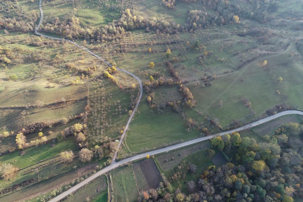
Our approach is to review the state of research on the borders of the Dacia Inferior province. We present here the fortifications on the middle and lower course of the Olt, named by Gr. Tocilescu limes alutanus.
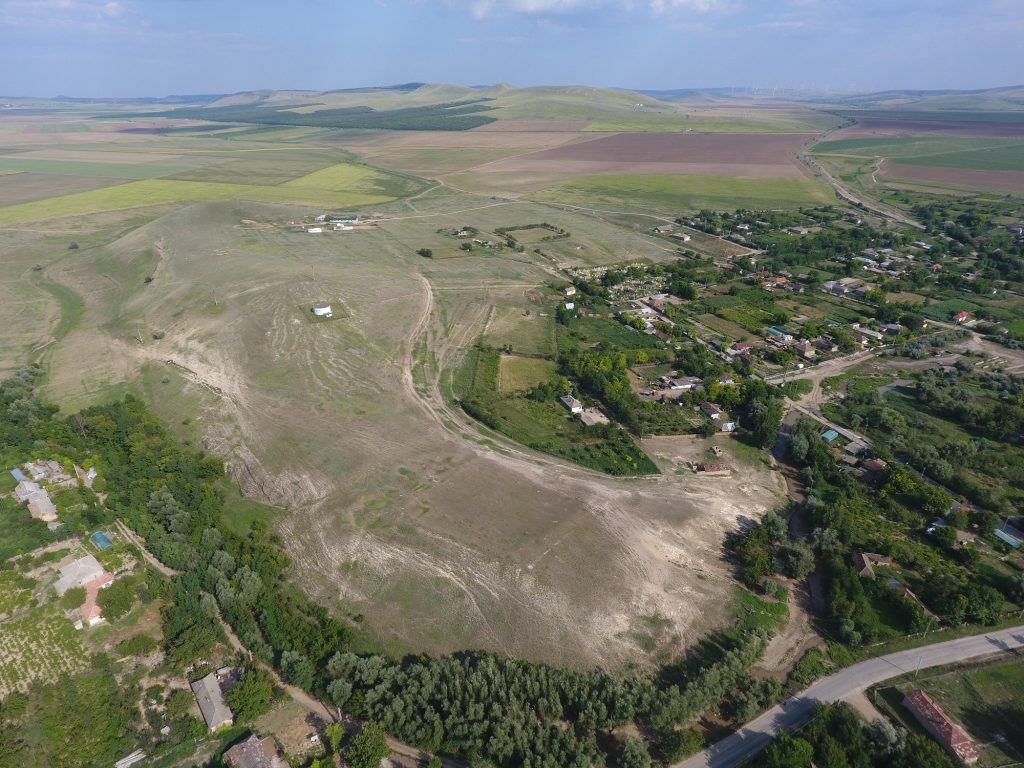
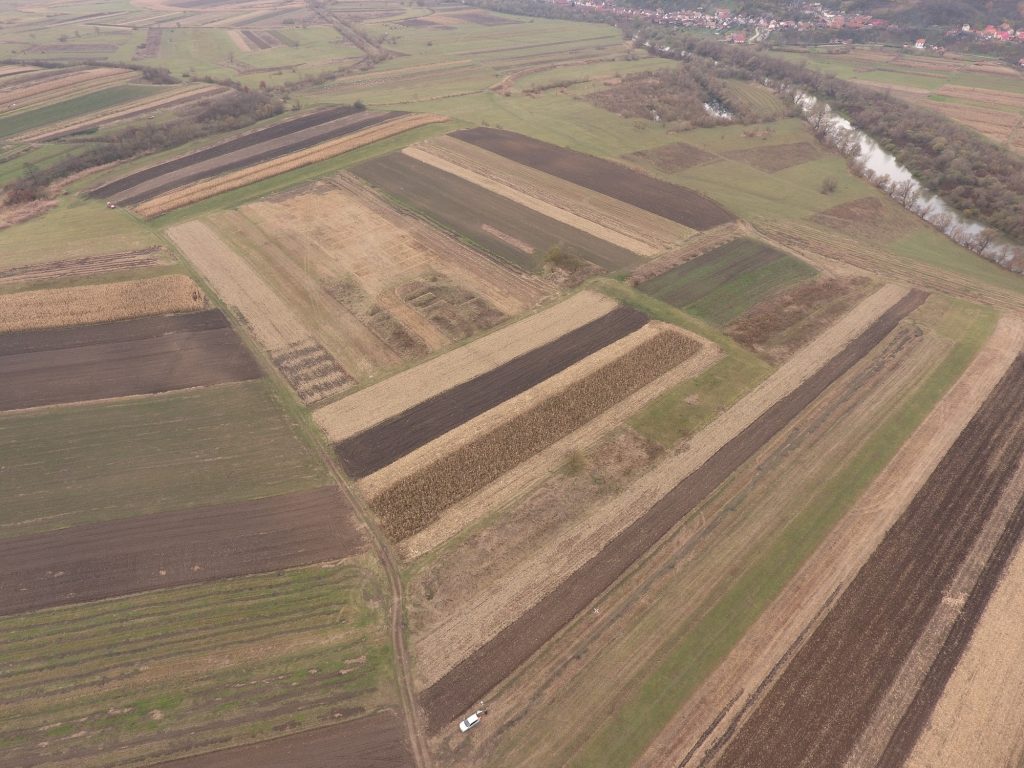
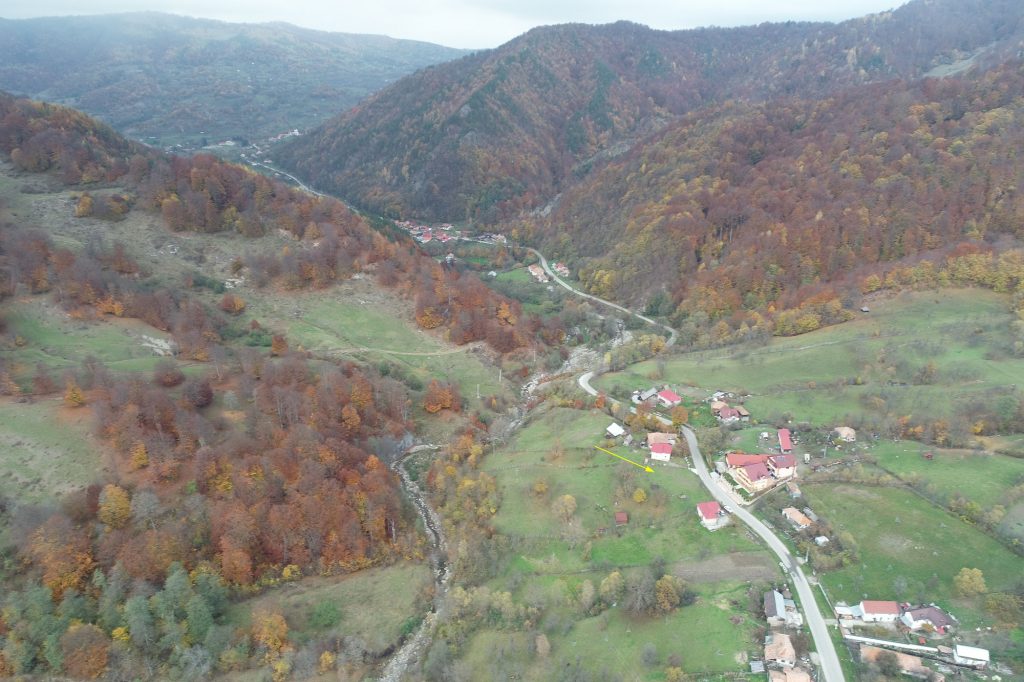
The discovery of the fortlets in the northwest of Muntenia provided the opportunity for significant research on the impact of Roman armies in a recently conquered territory. Since these fortifications were abandoned after only a few years of operation, their research offers the possibility of reconstructing in detail a well-defined historical period, practically a historical sequence.
During recent research, new archaeological information appeared, which made it appropriate to return to some discussions regarding temporary Roman fortifications in Muntenia, a territory located between the provinces of Moesia Inferior and Dacia.