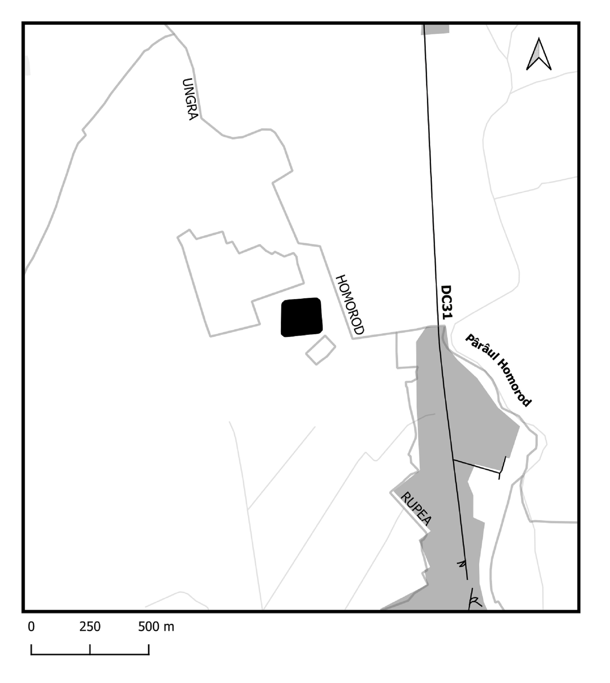
The Ungra fort is located on the high terrace of the Homorod River, located to the right of the Olt, at the named point named Pe Hill, approx. 5 km away from the Roman camp of Hoghiz.
The fortification was recently identified, with the first study containing the results of multidisciplinary research, verified by excavation in 2018, published.
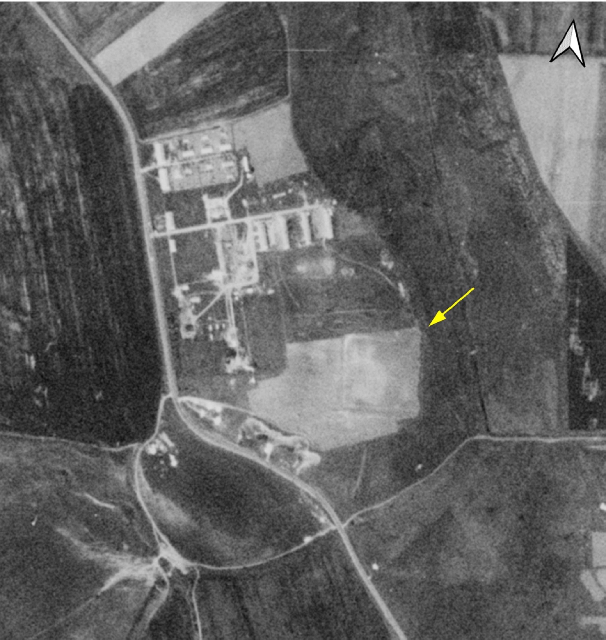
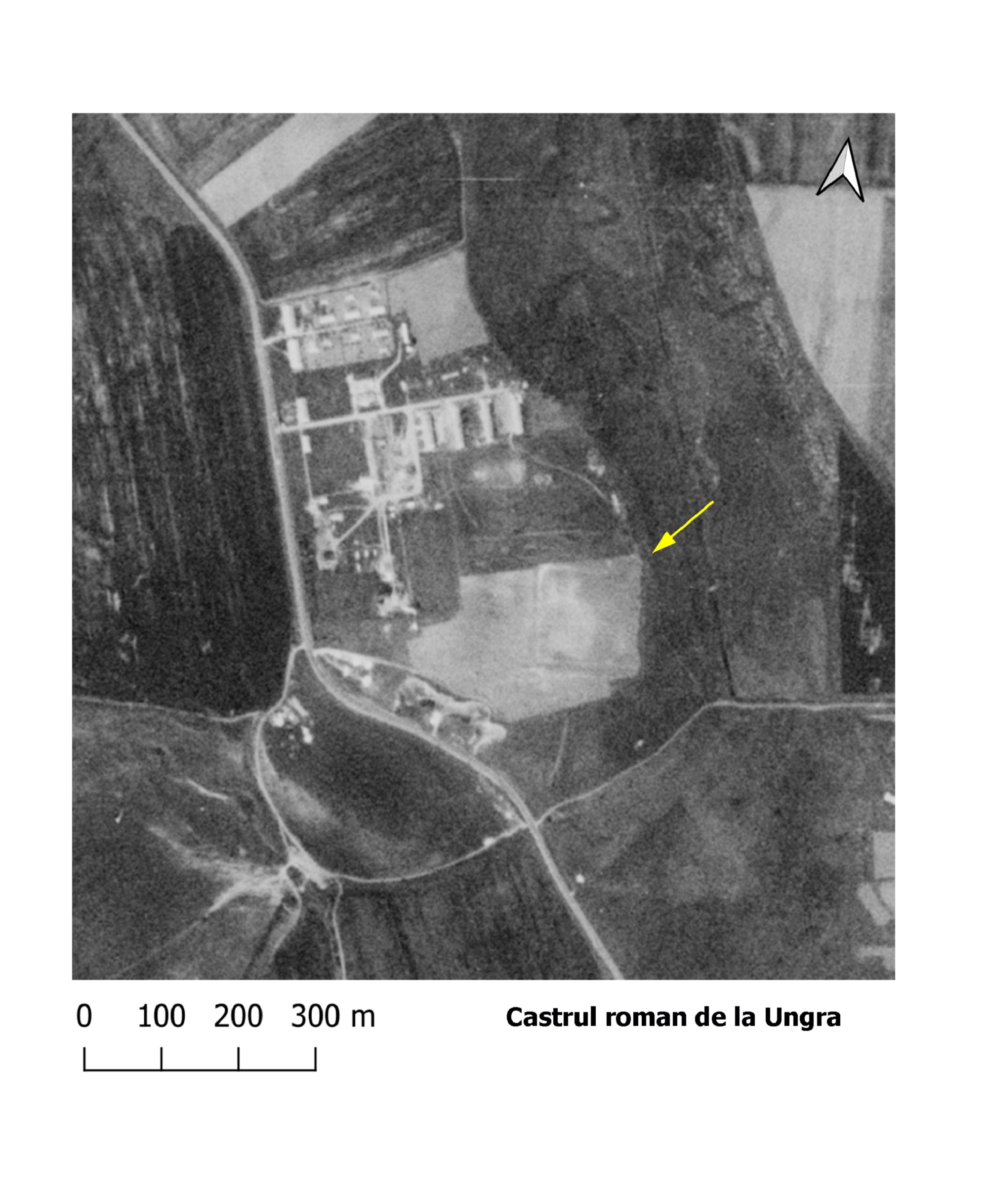
The fort is best distinguished on the Corona 1968 satellite photos (fig.2.2). Meanwhile that area has been quite affected by agricultural work. Its observation was made following reconnaissance on the ground. During 2018 a control excavation was carried out on the northern precinct near the northwest corner. A double, W-shaped fossa has been identified, 2 m wide, as well as the wooden enclosure of the fort. The dimensions of the fortification are 110 x 130 m.
The attestation of this fort with a wooden palisade is very important in the study of the defensive strategy in this area where the crossing of the Olt was ensured. The border between Dacia inferior and Dacia superior was located in the same area.
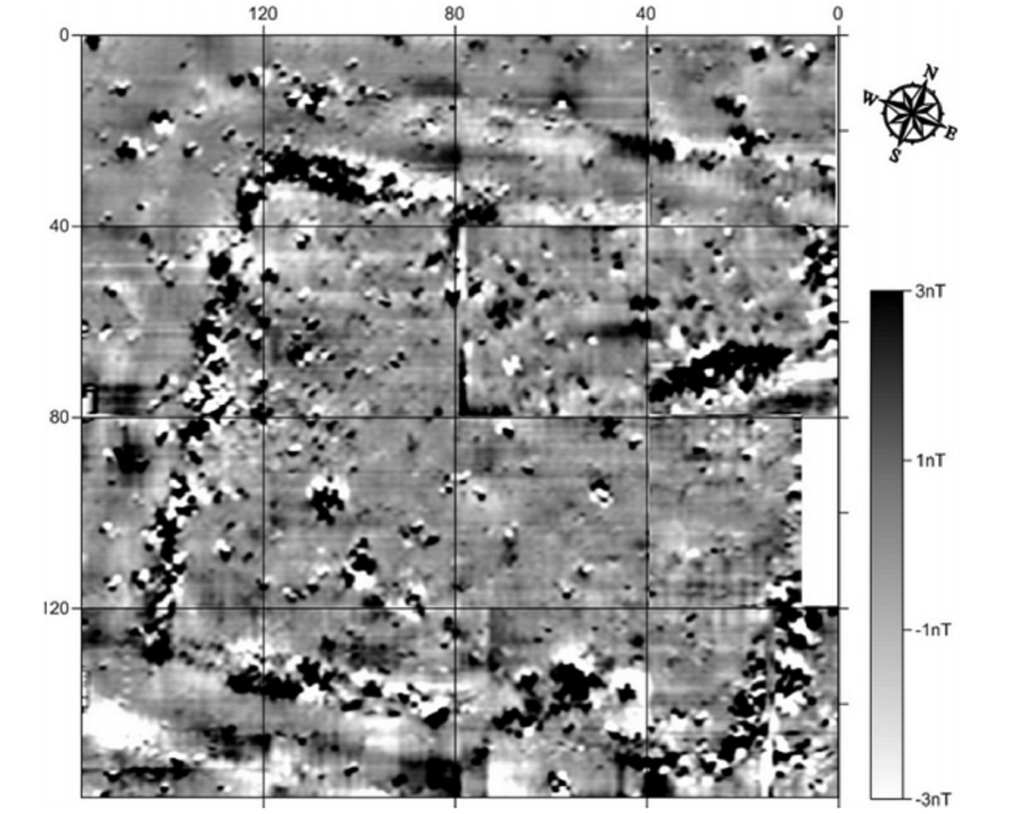
Plan of the geophysical surveys carried out in the castle (Gridan et al. 2017, 856, fig. 3)
Plan of the fort (Gridan et al. 2017, 861, fig. 9).
Part of the study:
Ovidiu Țentea, Florian Matei-Popescu, Vlad Călina, Frontiera romană din Dacia Inferior. O trecere în revistă și o actualizare. 1., Cercetări Arheologice, Vol. 28.1, pag. 9-90, 2021, doi: https://doi.org/10.46535/ca.28.1.01
Gridan, S., Urdea, P. și Hegyi, Al. Castrul de la Ungra, jud. Brașov. Cercetări Multidisciplinare, În: ArheoVest, Nr. V: In S. Forțiu ed. In Honorem Doina Benea, Interdisciplinaritate în Arheologie și Istorie, Timişoara, 25 noiembrie 2017 Vol. 2: Metode Interdisciplinare și Istorie: 851-883. Szeged: JATEPress Kiadó.