Location: Ucea commune, Braşov county (RAN 42138.01; BV-I-m-A-11277)
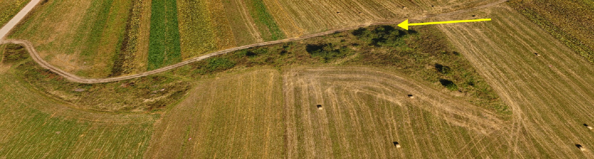
Oblique aerial photo. View from the south-west (yellow arrow represents the northern corner of the castle).
The traces visible on the surface, belonging to the auxiliary fort are visible to the south from the present village, on the right bank of the Olt river, on a low terrace, at the point Cetăţea/Cetate. A higher point is visible, in the form of an earthen rampart, corresponding to the NE corner. Excavations undertaken by N. Gudea and I. Pop (1973-1979) have highlighted two construction phases. The first fort had a rampart 8 m wide and 1.25 high and a defensive moat with an opening of 11 m and 1.25 m deep.
Castrum location
Castrum location on the Master Shooting plans
Imprints belonging to the wooden gates on the NE and NW sides were identified. Two sides on a length of 137 m and 114 m could be observed from the stone fort, having the same orientation as the previous fortification. The porta praetoria, on the NE side and porta principalis sinistra, on the NW side, a corner tower of trapezoidal shape, and a rectangular curtain tower were excavated. Two barracks from praetentura sinistra were partially identified inside.
Based on tegular material, we identified that cohors II Flavia Numidarum was camped here (IDR III/4, 174,176, 177 – Antoniniana). Traces of the preserved rampart of the fortification are partially visible on the ground. Also, fragmentary artefacts can be visible on the ground on the territory of the civil settlement.
Plan of the castrum (Gudea 1997, 69, no. 45)
Aerial orthophoto
Plan (Gudea 1997, 69, no. 45) superimposed on the digital terrain model
Part of the study:
Ovidiu Țentea, Florian Matei-Popescu, Vlad Călina, Frontiera romană din Dacia Inferior. O trecere în revistă și o actualizare. 1., Cercetări Arheologice, Vol. 28.1, pag. 9-90, 2021, doi: https://doi.org/10.46535/ca.28.1.01