D. Tudor assumed the existence of a small fort, 60×60 m (burgus?), at the point called “Conacul Boroneasa”. The location is south of the former Stolniceni village, on the territory of the present Râmnicu Vâlcea municipality, on a high terrace, on the right bank of the river.
Epigraphic information attests to the activity of cohorts I Hispanorum (the Hunt papyrus), I Brittonum (IDR II 560, CORSMB – I Nerviana Pacensis milliaria Brittonum), II Flavia Bessorum (IDR II 561-562). Also, stamped ceramic material from the three legions of Lower Moesia (V Macedonica, I Italica, XI Claudia) was attested, as well as numerous stamps P(edites) S(ingulares) legati Augusti pro praetore Moesiae inferioris (85 pieces).
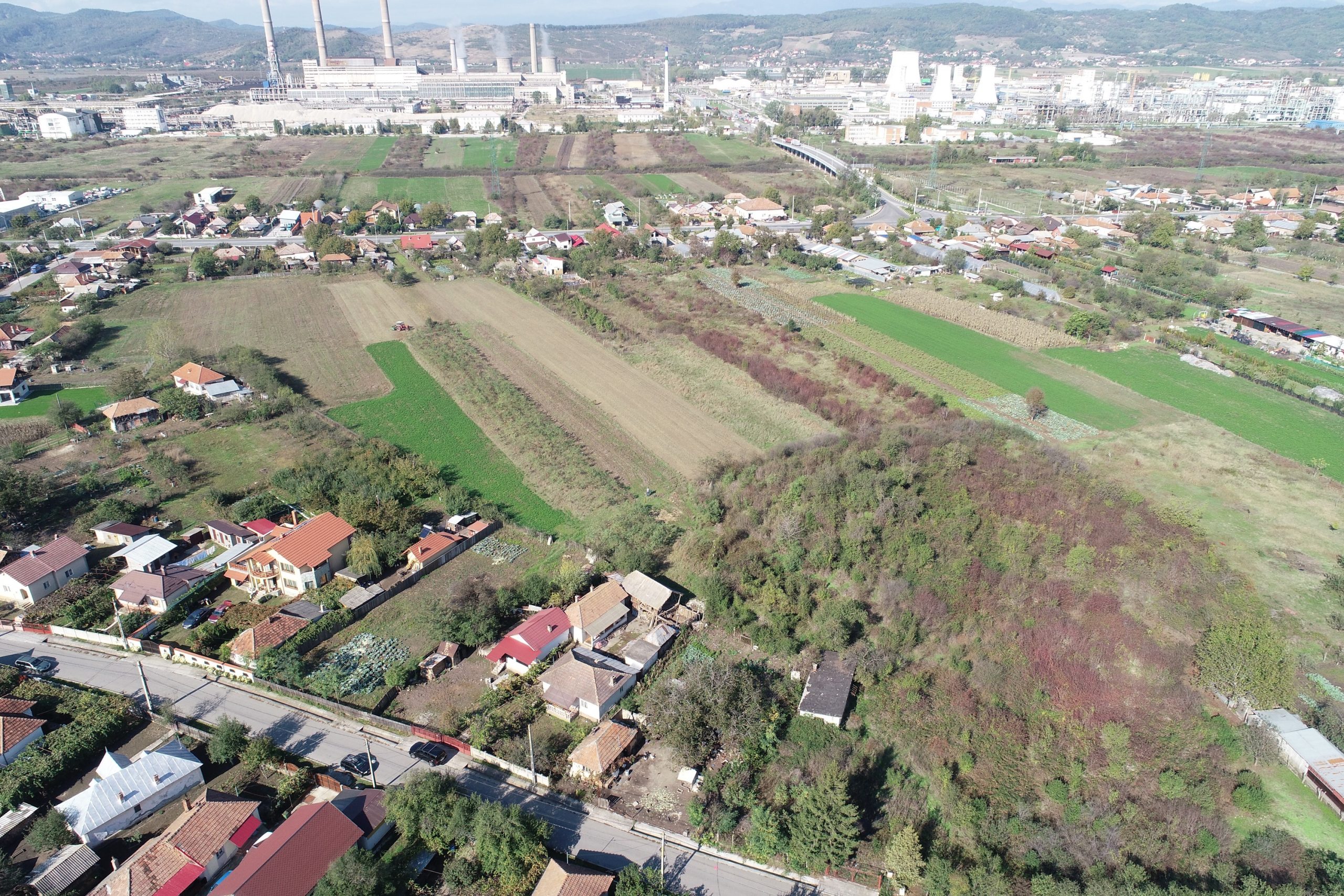
Site location
Site location, declassified 1966 Corona satellite photo (1036-2139 Fore; Aug 18, 1966_Center for Advanced Spatial Technologies, University of Arkansas/U.S. Geological Survey).
During excavations in the military vicus, carried out by Gh. Bichir traces of an important civil settlement were discovered, but the hypothesis of the existence of a fortification could not be confirmed. During these excavations, one of the largest and best preserved buildings in lower Dacia was unearthed. It included numerous rooms with bath-specific elements, which belonged either to a very large bath or to an impressive building that also had a bath.
Pe baza fotografiilor aeriene, Ioana Bogdan-Cătăniciu a identificat amplenta unui amphitheatrum castrense. Oricum dimensiunile reduse ale fortificației presupuse ar fi fost neobișnuite pentru o prezență militară masivă, mai ales în epoca traianică. Fortificația din primii ani ai cuceririi romane este posibil să fie în apropierea fortificației dacice de la Ocnele Mari.
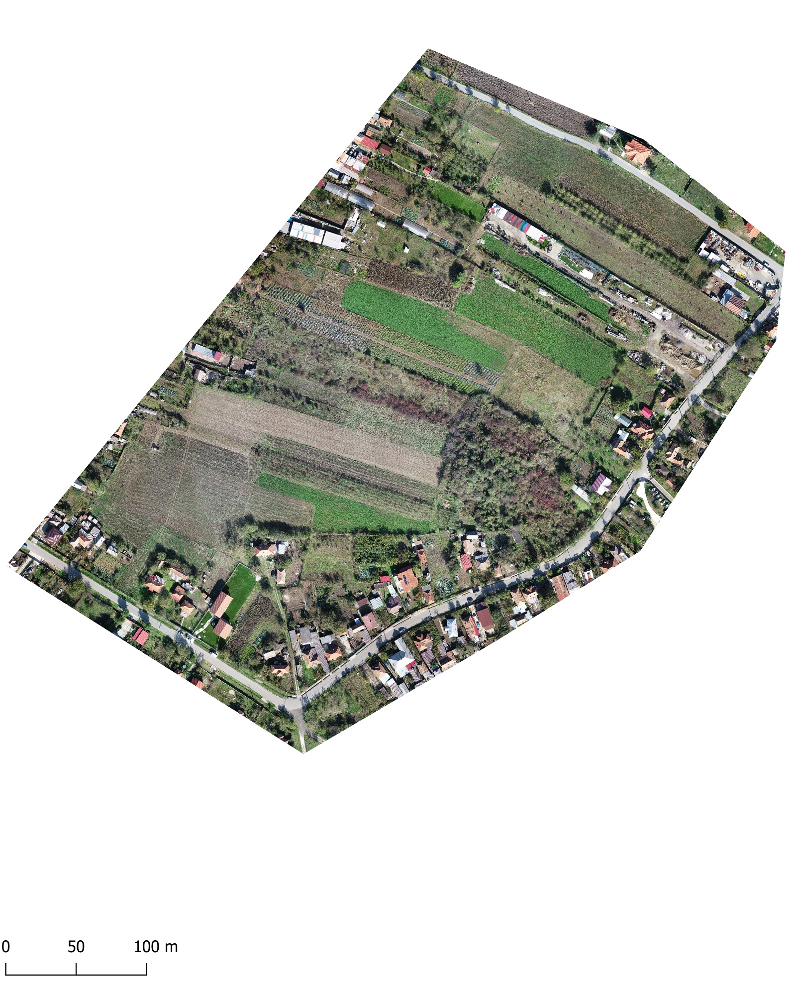
Aerial orthophoto
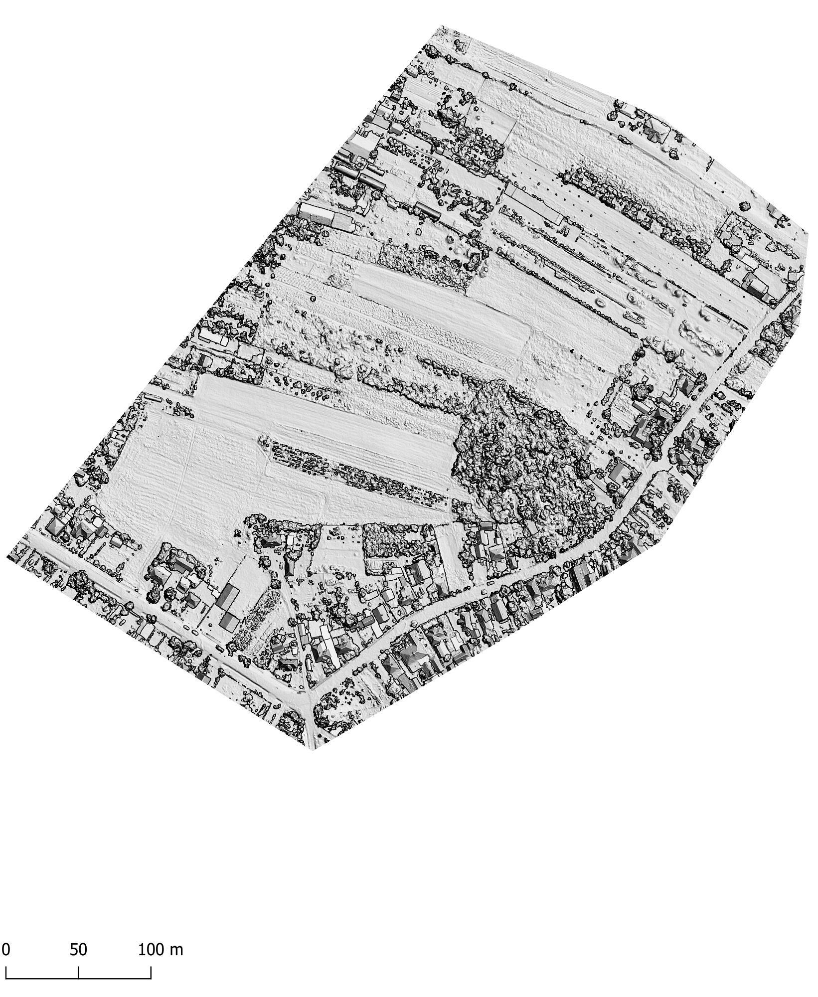
Hillshade model
Superimposition of the bath plan (Bichir et al. 1992, 257, fig. 1) on the digital terrain model
Based on epigraphic evidence, D. Tudor developed the theory that the seat of the governor of Moesia Inferior was placed in this area, between Trajan’s two Dacian campaigns. Since the excavations were mainly carried out by rescue teams in great haste, and in part, the site was destroyed by modern construction, no significant details could be obtained with regards to the early Roman levels.
Part of the study:
Ovidiu Țentea, Florian Matei-Popescu, Vlad Călina, Frontiera romană din Dacia Inferior. O trecere în revistă și o actualizare. 1., Cercetări Arheologice, Vol. 28.1, pag. 9-90, 2021, doi: https://doi.org/10.46535/ca.28.1.01
TIR L 35, 68-69; Tudor 1968, 311; Tudor 1978, 214-217, nr. 5, 270, nr. 8; Vlădescu 1983, 90-91, nr. 12; Gh. Bichir, P. Bardaşu, MCA Braşov, 1983, 336-343 (aşezarea civilă, terme); Gh. Bichir, Thraco-Dacica 6, 1985, 93-104 (terme); Gh. Bichir, A. Sion, P. Bardaşu, MCA Ploieşti, 1992, 255-268; Gudea 1997, 88-89, nr. 74; Gudea 2005, 495, nr. VII. B. 5; Marcu 2009, 242-243, nr. 72.