The Roman frontier in Dobrudja: 20. Gratiana / Ad Stoma
- Home Public Archaeology
- The Roman frontier in Dobrudja: 20. Gratiana / Ad Stoma
Dunavățu de Jos
Dunavăţul de Jos (Cetatea Zaporojenilor)
Location: Tulcea county (160948.01; TL-I-s-A-05775)
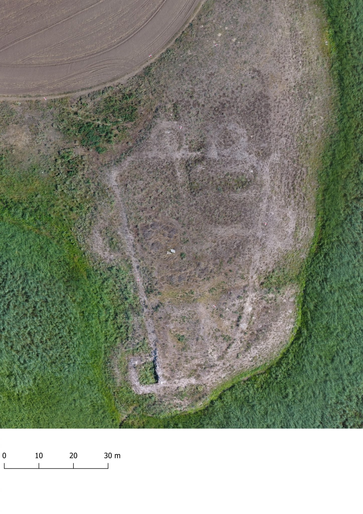
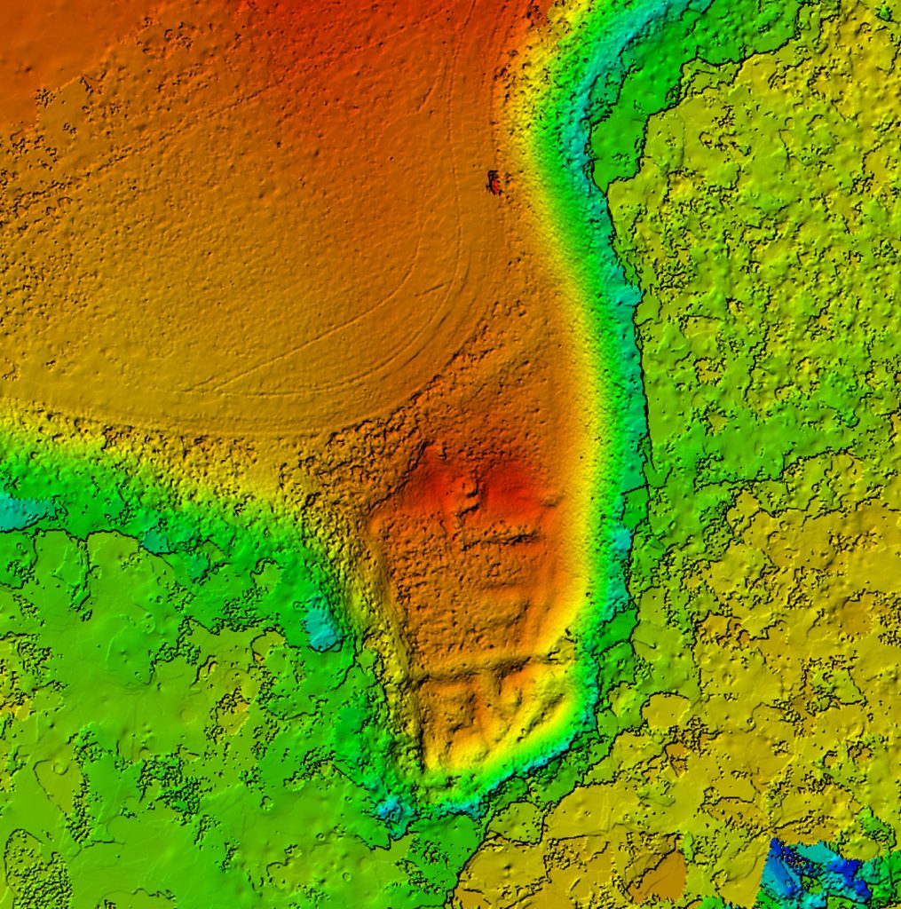
The fortification is also known as the “Cetatea Zaporojenilor”. It is located at a point near where the Sf. Gheorghe’s arm is flowing into the Black Sea, 5 km west of the modern settlement (and another 5 km south–southwest of Halmyris, respectively 7 km southwest of Dunavățu de Sus), access is via a communal road. It has been identified by some authors (M. Zahariade) with Gratiana, mentioned in ND, Or., 39, 27, where the milites primi Gratianenses are garrisoned; Gratiana would later be mentioned by Procopius (Aedif. IV, 11).
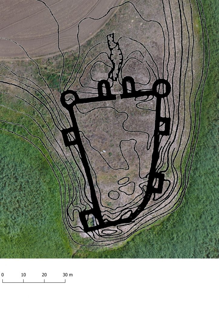
Fortification of trapezoidal, irregular shape, with dimensions of 46 m (N) x 56 (E) X 28.15 (S) x 66 m. The early fortification is overlaid by the late fortification. The gate is on the north side, flanked by two U-shaped towers; circular towers on the northwest and northeast corners, respectively a rectangular tower on the southwest and three other rectangular towers on the west and east sides.
In the ancient period, it was located near a bay of the Black Sea (presently Lake Razelm), having the role of supervising the entrance to the Danube. Archaeological research was carried out between 1987 and 1992. M. Zahariade identifies the fortification with the toponym Gratiana, and S. Torbatov with Ad Stoma.
Dunavățu de Sus
Dunavățul de Sus (Ad Stoma ?)
Location: Tulcea county (160957.02; TL-I-s-B-05779)
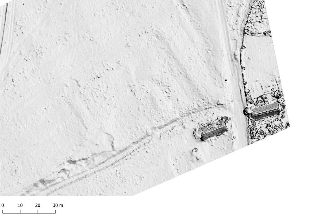
The Roman fortification (quadriburgium) from Dunavățul de Sus is located near the place where the Sf. Gheorghe arm of the Danube flows into the Black Sea. It was built at the beginning of the 4th century. and it functioned until the 6th century AD. The dimensions of the enclosure are about 50 x 47 m.
It has been known since the end of the 19th century, being partially archaeologically investigated. It has been identified with Ad Stoma, toponym mentioned in Tabula Peutingeriana (I. Barnea, A. Aricescu, M. Zahariade); against that, S. Torbatov, who identified the fortification with Gratiana, placing Ad Stoma nearby, at Dunavățu de Jos.
Part of the study:
Ovidiu Țentea, Ioan C. Opriș, Florian Matei-Popescu, Alexandru Rațiu, Constantin Băjenaru, Vlad Călina, Frontiera romană din Dobrogea. O trecere în revistă și o actualizare, Cercetări Arheologice, Vol. 26, pag. 9-82, 2019, doi: https://doi.org/10.46535/ca.26.01
Bibliography
Zahariade, Gudea 1997, 83, nr. 56; Gudea 2005, 464, nr. IV. 56; Băjenaru 2010, 131-132, nr. 51; Zahariade, M., Two problems of topography and historical geography in Dobrudja, Dacia N.S. LV, 2011, 137-148 (142-148); Zahariade, M., Towards a Historical Geography of Extrema Scythiae Minoris. A Land Survey of the South-East Shoreline of the Dunavăţ Peninsula. Results and Perspectives, Pontica 44, 2011, 311-322.
Polonic 1935, 25; Zahariade 1999, 204; Băjenaru 2010, 131, nr. 50.


